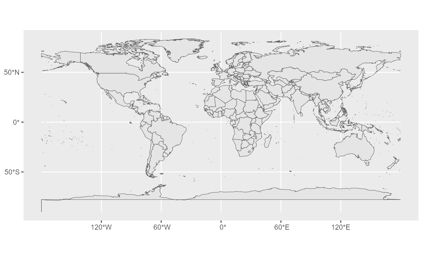
This dataset contains world administrative boundaries at the country level. It provides two feature classes, regions and boundaries, at five scale levels: 1M, 3M, 10M, 20M and 60M.
Downloads data from the aggregated GISCO country file. To download
single-unit country files, use gisco_get_unit_country().
Usage
gisco_get_countries(
  year = 2024,
  epsg = 4326,
  cache = TRUE,
  update_cache = FALSE,
  cache_dir = NULL,
  verbose = FALSE,
  resolution = 20,
  spatialtype = "RG",
  country = NULL,
  region = NULL,
  ext = "gpkg"
)
Source
GISCO countries distribution API: https://gisco-services.ec.europa.eu/distribution/v2/countries/.
Arguments
- year
A character string or numeric value with the release year of the file. One of
"2024","2020","2016","2013","2010","2006","2001".- epsg
A character string or numeric value with the coordinate reference system as a 4-digit EPSG code. One of:
"4326": WGS84."3035": ETRS89 / ETRS-LAEA."3857": Pseudo-Mercator.
- cache
A logical value indicating whether to cache results. Defaults to
TRUE. See Caching strategies section ingisco_set_cache_dir().- update_cache
A logical value indicating whether to refresh the cached file. Defaults to
FALSE. When set toTRUE, it forces a new download.- cache_dir
A character string with a path to a cache directory. See Caching strategies section in
gisco_set_cache_dir().- verbose
A logical value indicating whether to display informational messages.
- resolution
A character string or numeric value with the geospatial data resolution. One of:
"60": 1:60 million."20": 1:20 million."10": 1:10 million."03": 1:3 million."01": 1:1 million.
- spatialtype
A character string with the type of geometry to return. Options available are:
"RG": Regions -MULTIPOLYGON/POLYGONobject."LB": Labels -POINTobject."BN": Boundaries -LINESTRINGobject."COASTL": Coastal lines -LINESTRINGobject."INLAND": Inland boundaries -LINESTRINGobject.Arguments
countryandregionare only applied whenspatialtypeis"RG"or"LB".
- country
A character vector of country codes. It can be either a vector of country names, a vector of ISO 3166-1 alpha-3 country codes or a vector of Eurostat country codes. See also
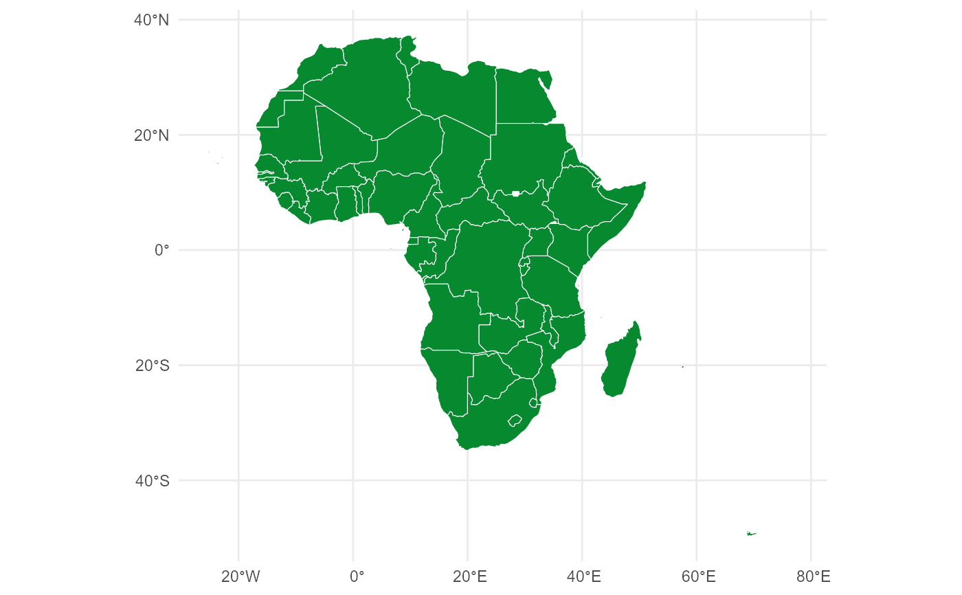
countrycode::countrycode().- region
An optional character vector of UN M49 region codes or European Union membership. Possible values are
"Africa","Americas","Asia","Europe","Oceania"or"EU"for countries belonging to the European Union as of 2021. See World regions and gisco_countrycode.- ext
A character value with the extension of the file (default
"gpkg"). One of"shp","gpkg","geojson".
Value
A sf object.
World regions
Regions follow the UN geographic regions (see https://unstats.un.org/unsd/methodology/m49/). Under this scheme Cyprus is assigned to Asia.
Copyright
See the GISCO administrative unit copyright provisions: https://ec.europa.eu/eurostat/web/gisco/geodata/administrative-units.
Note
Check the download and usage provisions in gisco_attributions().
See also
gisco_countrycode, gisco_countries_2024, gisco_get_metadata(),
countrycode::countrycode().
See gisco_bulk_download() to perform a bulk download of datasets.
See gisco_get_unit_country() to download single-unit files.
See gisco_id_api_country() to download via GISCO ID service API.
Administrative unit datasets:
gisco_get_communes(),
gisco_get_postal_codes()