GISCO geodata single-unit download
Source:R/gisco-get-unit-country.R, R/gisco-get-unit-nuts.R, R/gisco-get-unit-urban-audit.R
gisco_get_unit.RdDownload datasets of single spatial units from GISCO to the
cache_dir.
Unlike gisco_get_countries(), gisco_get_nuts() or
gisco_get_urban_audit() (which download full datasets and apply filters),
these functions download a single-unit file, reducing the time
needed to download and read data into your R session.
Usage
gisco_get_unit_country(
  unit = "ES",
  year = 2024,
  epsg = c(4326, 3857, 3035),
  cache = TRUE,
  update_cache = FALSE,
  cache_dir = NULL,
  verbose = FALSE,
  resolution = c(1, 3, 10, 20, 60),
  spatialtype = c("RG", "LB")
)

gisco_get_unit_nuts(
  unit = "ES416",
  year = 2024,
  epsg = c(4326, 3857, 3035),
  cache = TRUE,
  update_cache = FALSE,
  cache_dir = NULL,
  verbose = FALSE,
  resolution = c(1, 3, 10, 20, 60),
  spatialtype = c("RG", "LB")
)

gisco_get_unit_urban_audit(
  unit = "ES001F",
  year = 2024,
  epsg = c(4326, 3857, 3035),
  cache = TRUE,
  update_cache = FALSE,
  cache_dir = NULL,
  verbose = FALSE,
  spatialtype = c("RG", "LB")
)
Source
GISCO countries distribution API: https://gisco-services.ec.europa.eu/distribution/v2/countries/.
GISCO NUTS distribution API: https://gisco-services.ec.europa.eu/distribution/v2/nuts/.
GISCO Urban Audit distribution API: https://gisco-services.ec.europa.eu/distribution/v2/urau/.
All source files are .geojson files.
Arguments
- unit
A character vector of unit IDs to download. See Details.
- year
A character string or numeric value with the release year of the file.
- epsg
A character string or numeric value with the coordinate reference system as a 4-digit EPSG code. One of:
"4326": WGS84."3035": ETRS89 / ETRS-LAEA."3857": Pseudo-Mercator.
- cache
A logical value indicating whether to cache results. Defaults to
TRUE. See Caching strategies section ingisco_set_cache_dir().- update_cache
A logical value indicating whether to refresh the cached file. Defaults to
FALSE. When set toTRUE, it forces a new download.- cache_dir
A character string with a path to a cache directory. See Caching strategies section in
gisco_set_cache_dir().- verbose
A logical value indicating whether to display informational messages.
- resolution
A character string or numeric value with the geospatial data resolution. One of:
"60": 1:60 million."20": 1:20 million."10": 1:10 million."03": 1:3 million."01": 1:1 million.
- spatialtype
A character string with the type of geometry to return. Options available are:
"RG": Regions -MULTIPOLYGON/POLYGONobject."LB": Labels -POINTobject.
Value
A sf object.
Details
Check the available unit IDs for the required argument combination with
gisco_get_metadata().
Copyright
See the GISCO copyright provisions for administrative and statistical units:
Administrative units: https://ec.europa.eu/eurostat/web/gisco/geodata/administrative-units.
Statistical units: https://ec.europa.eu/eurostat/web/gisco/geodata/statistical-units.
Note
Check the download and usage provisions in gisco_attributions().
See also
gisco_get_metadata(), gisco_get_countries(),
gisco_get_nuts(), gisco_get_urban_audit().
See gisco_id_api to download via GISCO ID service API.
Bulk and single-unit downloads:
gisco_bulk_download()
Examples
# Get metadata.
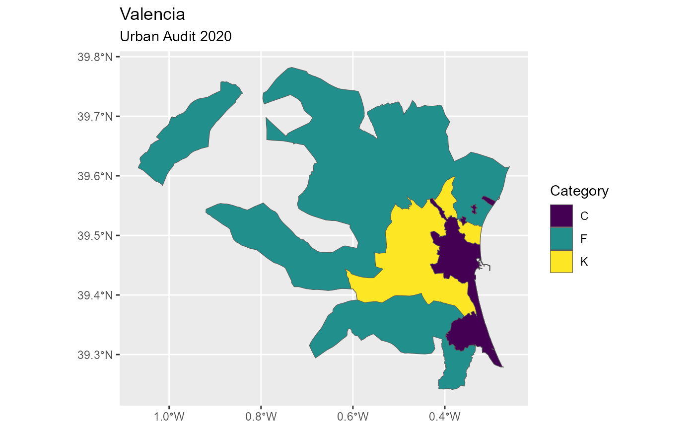
cities <- gisco_get_metadata("urban_audit", year = 2024)
# Valencia, Spain.
valencia <- cities[grep("Valencia", cities$URAU_NAME, fixed = TRUE), ]
valencia
#> # A tibble: 2 × 8
#> URAU_CODE URAU_CATG CNTR_CODE URAU_NAME CITY_CPTL FUA_CODE AREA_SQM NUTS3_2024
#> <chr> <chr> <chr> <chr> <chr> <chr> <dbl> <chr>
#> 1 ES003C C ES Valencia "" "ES003F" 402. ES523
#> 2 ES003F F ES Valencia "" "" 5430. ES523
if (
requireNamespace("dplyr", quietly = TRUE) &&
requireNamespace("ggplot2", quietly = TRUE)
) {
library(dplyr)
# Get `sf` objects and order by `AREA_SQM`.
valencia_sf <- gisco_get_unit_urban_audit(
unit = valencia$URAU_CODE,
year = 2024
) |>
arrange(desc(AREA_SQM))
# Plot.
library(ggplot2)
ggplot(valencia_sf) +
geom_sf(aes(fill = URAU_CATG)) +
scale_fill_viridis_d() +
labs(
title = "Valencia",
subtitle = "Urban Audit 2020",
fill = "Category"
)
}