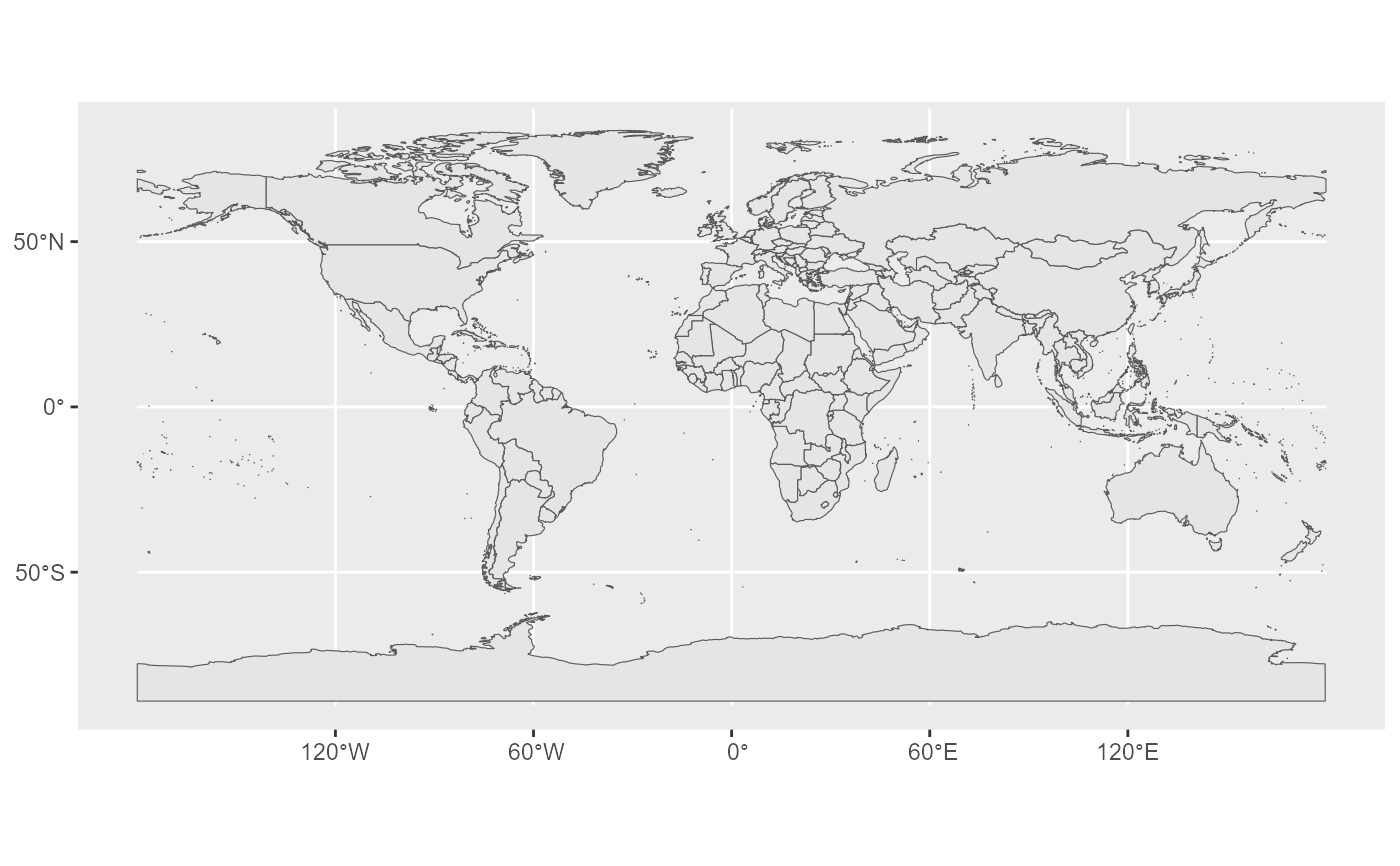
This dataset contains the administrative boundaries at country level of the world. This dataset consists of 2 feature classes (regions, boundaries) per scale level and there are 5 different scale levels (1M, 3M, 10M, 20M and 60M).
Please note that this function gets data from the aggregated GISCO
country file. If you prefer to download individual country files, please use
gisco_get_unit_country().
Usage
gisco_get_countries(
  year = 2024,
  epsg = 4326,
  cache = TRUE,
  update_cache = FALSE,
  cache_dir = NULL,
  verbose = FALSE,
  resolution = 20,
  spatialtype = "RG",
  country = NULL,
  region = NULL,
  ext = "gpkg"
)
Source
https://gisco-services.ec.europa.eu/distribution/v2/.
Copyright: https://ec.europa.eu/eurostat/web/gisco/geodata/administrative-units.
Arguments
- year
character string or number. Release year of the file. One of
"2024","2020","2016","2013","2010","2006","2001".- epsg
character string or number. Projection of the map: 4-digit EPSG code. One of:
"4326": WGS84."3035": ETRS89 / ETRS-LAEA."3857": Pseudo-Mercator.
- cache
logical. Whether to do caching. Default is
TRUE. See Caching strategies section ingisco_set_cache_dir().- update_cache
logical. Should the cached file be refreshed? Default is
FALSE. When set toTRUEit would force a new download.- cache_dir
character string. A path to a cache directory. See Caching strategies section in
gisco_set_cache_dir().- verbose
logical. If
TRUEdisplays informational messages.- resolution
character string or number. Resolution of the geospatial data. One of:
"60": 1:60 million."20": 1:20 million."10": 1:10 million."03": 1:3 million."01": 1:1 million.
- spatialtype
character string. Type of geometry to be returned. Options available are:
"RG": Regions -MULTIPOLYGON/POLYGONobject."LB": Labels -POINTobject."BN": Boundaries -LINESTRINGobject."COASTL": coastlines -LINESTRINGobject."INLAND": inland boundaries -LINESTRINGobject.
Note that arguments
countryandregionwould be only applied whenspatialtypeis"RG"or"LB".- country
character vector of country codes. It could be either a vector of country names, a vector of ISO3 country codes or a vector of Eurostat country codes. See also
countrycode::countrycode().- region
Optional. A character vector of UN M49 region codes or European Union membership. Possible values are
"Africa","Americas","Asia","Europe","Oceania"or"EU"for countries belonging to the European Union (as per 2021). See World Regions and gisco_countrycode.- ext
character. Extension of the file (default
"gpkg"). One of"shp","gpkg","geojson".
Value
A sf object.
World Regions
Regions are defined as per the geographic regions defined by the UN (see https://unstats.un.org/unsd/methodology/m49/. Under this scheme Cyprus is assigned to Asia.
Note
Please check the download and usage provisions on gisco_attributions().
See also
gisco_countrycode, gisco_countries_2024, gisco_get_metadata(),
countrycode::countrycode().
See gisco_bulk_download() to perform a bulk download of datasets.
See gisco_get_unit_country() to download single files.
See gisco_id_api_country() to download via GISCO ID service API.
Other administrative units datasets:
gisco_get_communes(),
gisco_get_postal_codes()


