Functions to interact with the GISCO ID service API, which returns attributes and, optionally, geometry for different datasets at specified longitude and latitude coordinates.
Each available endpoint is implemented through a specific function. See Details.
Usage
gisco_id_api_geonames(
  x = NULL,
  y = NULL,
  xmin = NULL,
  ymin = NULL,
  xmax = NULL,
  ymax = NULL,
  verbose = FALSE
)

gisco_id_api_nuts(
  x = NULL,
  y = NULL,
  year = 2024,
  epsg = c(4326, 4258, 3035),
  verbose = FALSE,
  nuts_id = NULL,
  nuts_level = NULL,
  geometry = TRUE
)

gisco_id_api_lau(
  x,
  y,
  year = 2024,
  epsg = c(4326, 4258, 3035),
  verbose = FALSE,
  geometry = TRUE
)

gisco_id_api_country(
  x,
  y,
  year = 2024,
  epsg = c(4326, 4258, 3035),
  verbose = FALSE,
  geometry = TRUE
)

gisco_id_api_river_basin(
  x,
  y,
  year = 2019,
  epsg = c(4326, 4258, 3035),
  verbose = FALSE,
  geometry = TRUE
)

gisco_id_api_biogeo_region(
  x,
  y,
  year = 2016,
  epsg = c(4326, 4258, 3035),
  verbose = FALSE,
  geometry = TRUE
)

gisco_id_api_census_grid(
  x,
  y,
  year = 2021,
  epsg = c(4326, 4258, 3035),
  verbose = FALSE,
  geometry = TRUE
)Arguments
- x, y
A character string or numeric value with the longitude and latitude coordinates to identify.
- xmin, ymin, xmax, ymax
A character string or numeric value with bounding box coordinates to identify all geonames within the box.
- verbose
A logical value. If
TRUEdisplays informational messages.- year
A character string or numeric value with the dataset year, see Details.
- epsg
A character string or numeric value with the EPSG code for the coordinate reference system.
- nuts_id
A character value with the NUTS ID code.
- nuts_level
A character string with the NUTS level. One of
0,1,2or3.- geometry
A logical value indicating whether to return geometry. If
TRUE, asfobject is returned. IfFALSE, a tibble is returned.
Details
The available endpoints are:
gisco_id_api_geonames(): Get geographic placenames from longitude and latitude coordinates or a bounding box.gisco_id_api_nuts(): Return NUTS regions from longitude and latitude coordinates or an ID. Accepted values foryearare are"2024","2021","2016","2013","2010","2006".gisco_id_api_lau(): Return the ID and, optionally, geometry for Local Administrative Units (LAU) at specified longitude and latitude coordinates. Accepted values foryearare are"2024","2023","2022","2021","2020","2019","2018","2017","2016","2015","2014","2013","2012","2011".gisco_id_api_country(): Return the ID and, optionally, geometry for countries at specified longitude and latitude coordinates. Accepted values foryearare are"2024","2020","2016","2013","2010","2006".gisco_id_api_river_basin(): Return the ID and, optionally, geometry for river basins at specified longitude and latitude coordinates, based on the Water Framework Directive (WFD) reference spatial datasets. Accepted values foryearare are"2024","2023","2022","2021","2020","2019".gisco_id_api_biogeo_region(): Return the ID and, optionally, geometry for biogeographical regions at specified longitude and latitude coordinates. The biogeographical regions dataset contains the official delineations used in the Habitats Directive (92/43/EEC) and for the EMERALD Network. Accepted values foryearare is"2016".gisco_id_api_census_grid(): Return the ID and, optionally, geometry for census grid cells at specified longitude and latitude coordinates. Accepted values foryearare is"2021".
See also
gisco_get_nuts(), gisco_get_lau(), gisco_get_countries(),
gisco_get_census().
GISCO API tools:
gisco_address_api
Examples
# \donttest{
gisco_id_api_geonames(x = -2.5, y = 43.06)
#> Simple feature collection with 10 features and 8 fields
#> Geometry type: POINT
#> Dimension: XY
#> Bounding box: xmin: -2.534611 ymin: 43.03257 xmax: -2.491494 ymax: 43.07773
#> Geodetic CRS: WGS 84
#> # A tibble: 10 × 9
#> name type country language localtype distanceMeters endlifespanversion
#> * <chr> <chr> <chr> <chr> <chr> <dbl> <chr>
#> 1 Mondragón admi… ES spa Administ… 809. None
#> 2 Arrasate admi… ES baq Administ… 809. None
#> 3 Arrasate/… popu… ES spa BUILTUPP 858. None
#> 4 Garagartza popu… ES baq BUILTUPP 2052. None
#> 5 Aretxabal… popu… ES baq BUILTUPP 3082. None
#> 6 Gesalibar popu… ES baq BUILTUPP 2482. None
#> 7 Aramaio I… hydr… ES baq Watercou… 2822. None
#> 8 Rio Arama… hydr… ES spa Watercou… 2822. None
#> 9 Kobato Er… hydr… ES baq Watercou… 3339. None
#> 10 Arroyo Ko… hydr… ES spa Watercou… 3339. None
#> # ℹ 2 more variables: beginlifespanversion <date>, geometry <POINT [°]>
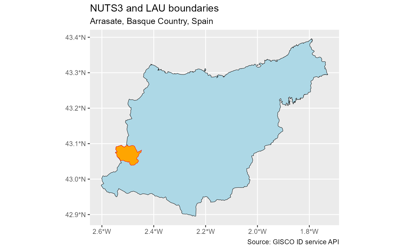
lau <- gisco_id_api_lau(x = -2.5, y = 43.06)
nuts3 <- gisco_id_api_nuts(x = -2.5, y = 43.06, nuts_level = 3)
if (all(!is.null(lau), !is.null(nuts3))) {
library(ggplot2)
ggplot(nuts3) +
geom_sf(fill = "lightblue", color = "black") +
geom_sf(data = lau, fill = "orange", color = "red") +
labs(
title = "NUTS 3 and LAU boundaries",
subtitle = "Arrasate, Basque Country, Spain",
caption = "Source: GISCO ID service API"
)
}
 # }
# }