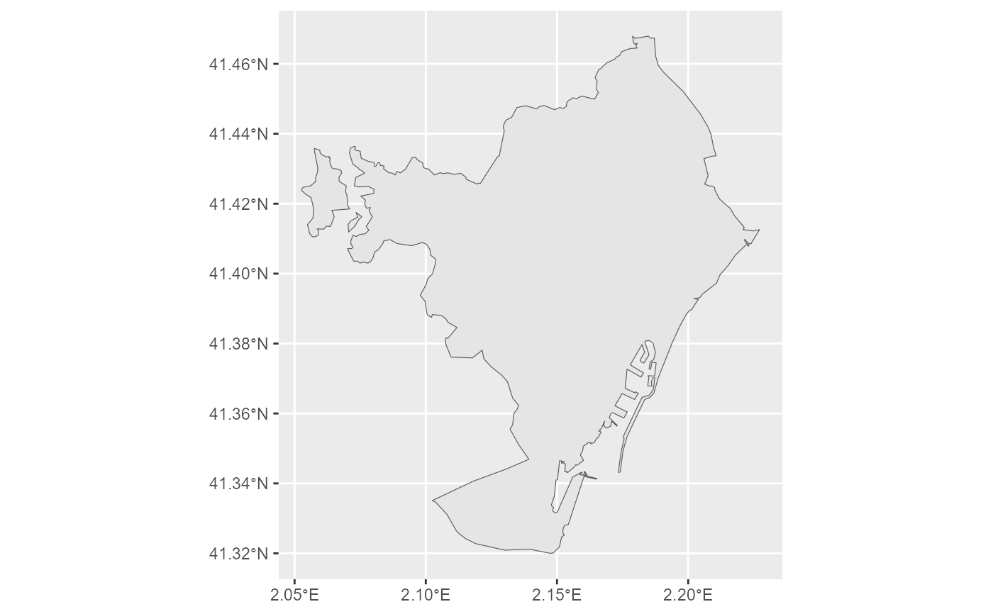
This dataset contains the boundaries of cities ("CITIES"), greater cities
("GREATER_CITIES") and functional urban areas ("FUA") defined according
to the EC-OECD city definition. It is used for the Eurostat Urban Audit data
collection.
Downloads data from the aggregated GISCO Urban Audit file. To download
single-unit Urban Audit files, use gisco_get_unit_urban_audit().
Source
https://gisco-services.ec.europa.eu/distribution/v2/.
Copyright: https://ec.europa.eu/eurostat/web/gisco/geodata/administrative-units.
Arguments
- year
A character string or numeric value with the release year of the file. One of
"2024","2021","2020","2018","2014","2004","2001".- epsg
A character string or numeric value with the coordinate reference system as a 4-digit EPSG code. One of:
"4326": WGS84."3035": ETRS89 / ETRS-LAEA."3857": Pseudo-Mercator.
- cache
A logical value indicating whether to cache results. Defaults to
TRUE. See Caching strategies section ingisco_set_cache_dir().- update_cache
A logical value indicating whether to refresh the cached file. Defaults to
FALSE. When set toTRUE, it forces a new download.- cache_dir
A character string with a path to a cache directory. See Caching strategies section in
gisco_set_cache_dir().- verbose
A logical value. If
TRUEdisplays informational messages.- spatialtype
A character string with the type of geometry to return. Options available are:
"RG": Regions -MULTIPOLYGON/POLYGONobject."LB": Labels -POINTobject.
- country
A character vector of country codes. It can be either a vector of country names, a vector of ISO 3166-1 alpha-3 country codes or a vector of Eurostat country codes. See also
countrycode::countrycode().- level
A character string with the Urban Audit level. Possible values are
"all"(the default), which downloads the full dataset,"CITIES","FUA"and, for versions prior toyear = 2020,"GREATER_CITIES","CITY","KERN"or"LUZ".- ext
A character value with the extension of the file (default
"gpkg"). One of"shp","gpkg","geojson".
Value
A sf object.
Details
For more information, see: Eurostat - Statistics Explained.
Cities are defined at several conceptual levels:
The core city (
"CITIES"), using an administrative definition.The Functional Urban Area/Large Urban Zone (
"FUA"), approximating the functional urban region. Coverage includes the EU, Iceland, Norway and Switzerland. The dataset includes polygon features, point features and a related attribute table which can be joined on the URAU code field.
The "URAU_CATG" field defines the Urban Audit category:
"C"= City."F"= Functional urban area service type.
Note
Check the download and usage provisions in gisco_attributions().
See also
See gisco_bulk_download() to perform a bulk download of datasets.
See gisco_get_unit_urban_audit() to download single-unit files.
Statistical unit datasets:
gisco_get_census(),
gisco_get_coastal_lines(),
gisco_get_lau(),
gisco_get_nuts()